GeotiffExport
Categories:
This plugin, for the open source seismic interpretation platform OpendTect Version 6.4.0 or later, exports OpendTect either 3D horizon/attribute data or Z slices (as of 7.0.3) to a GeoTIFF image. GeoTIFF is a public domain metadata standard which allows georeferencing information to be embedded within a TIFF image file. GeoTIFF image files are widely supported by GIS software.
Description
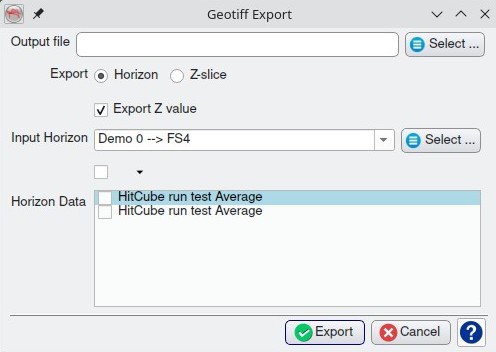
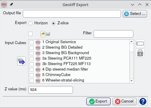
The plugin adds a “Geotiff Export” item to the Survey-Export main menu. Selecting the item opens a dialog box for selecting the destination file name and either a 3D horizon/attributes or Z slice to export. The data is exported to Float32 bands in the output image. The plugin supports exporting multiple horizons/attributes or Z slices to a single GeoTIFF file, however some GIS packages may not have the flexibility to display individual bands from a Float32 multiband image. If multiband images prove to be a problem the option exists to run the plugin multiple times and save each image to a separate GeoTIFF file.
Notes
- The plugin requires the survey to have a projection based CRS defined.
- This plugin is actually part of the GeopackageExport plugin - see notes there as well
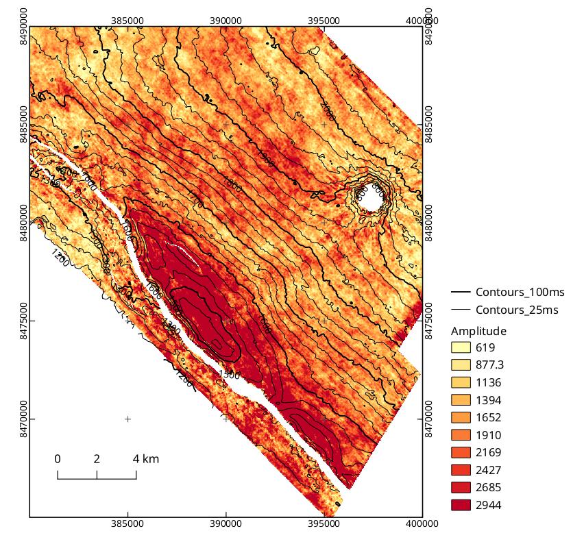
OpendTect 3D horizon data displayed in a QGIS print layout
Input Parameters
Feedback
Was this page helpful?
Glad to hear it! Please tell us how we can improve.
Sorry to hear that. Please tell us how we can improve.